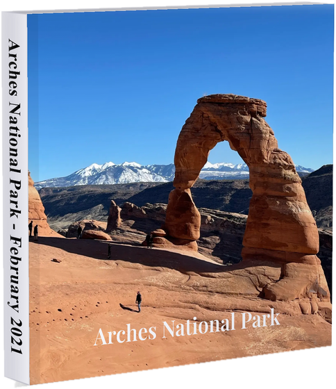
Not just storage—a trip story from your camera roll
Relive trips with maps, timelines, and the people who were there
Trip Atlas is built for travelers who have hundreds of photos and no time to file them. We turn metadata and time into a coherent trip you can browse, share, and print.
- Imports from common photo sources—metadata pulls dates and locations when your camera stored them.
- Each trip gets a map route and a day-by-day flow so the story reads in order.
- Invite people who traveled with you to add their shots to the same trip.
- Optional print-ready photo books from the Shop when you want something on the shelf.
From import to story in three steps
You bring the photos; we handle grouping, place context, and sharing—so your trips stay organized without a spreadsheet.
Import
Bring photos from your library or uploads in one flow. We use timestamps and GPS from your files when they’re present.
See the trip
Photos roll up into trips on a map and timeline—stops, days, and places without manual sorting.
Share or print
Share collections with friends and family, collaborate with fellow travelers, or lay out a book in the Shop.
Built for real trips, not generic albums
Date and location from your files become structure: where you went, in what order, and who can add to the record.
Maps & place context
See routes and stops when GPS exists in your images—so “that week in Portugal” becomes a path you can follow on the map.
Collaboration
Invite people who were on the trip to contribute photos—one shared trip instead of separate camera rolls to merge by hand.
Share & print
Present trips as collections for friends and family, and turn a finished trip into a print-ready book when you want a physical keepsake.
Bring your photos into Trip Atlas
Start from imports to build your first trips, or open the archive you already started in the app.
Your trips are tied to your account. We use photo metadata to organize your library—we don’t sell your photos. Details in our Privacy Policy.